
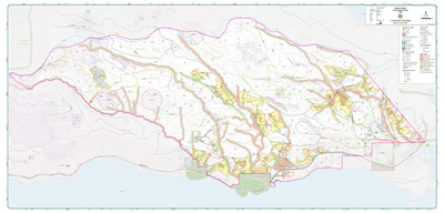
Maps
Overview Spatial PDF Maps
 East - Sproat Area (3,389 KB PDF file)
 West - Taylor Area (4,402 KB PDF file)
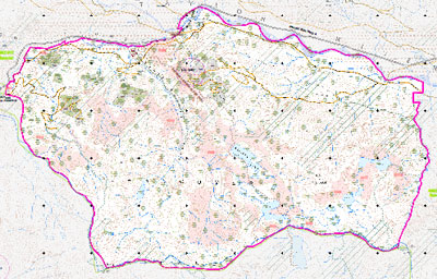
Orthophoto Maps (Overview)
 View large 50,000:1 Orthophoto Map (4,305 KB PDF file) View larger 20,000:1 Orthophoto Map (14,380 KB PDF file)
Forest Management Values Map
") East - Sproat Area (2,234 KB PDF file)
East - Sproat Area (2,234 KB PDF file)
") West - Taylor Area (4,014 KB PDF file)
West - Taylor Area (4,014 KB PDF file)
Viability Assessment Maps 2007
 East - Sproat Area (1,418 KB PDF file)
 West - Taylor Area (2,281 KB PDF file)